When you consider how close both Rocamadour and Lascaux are to Sarlat, it would have been pretty pathetic of us not to visit at least one of these famous places while we're here. I didn't know anything really about Rocamadour but had become familiar with Lascaux through teaching grade 8 history in a different life.
Here's a map showing the relative positions of Sarlat, Lascaux and Rocamadour:

Both are less than an hour's drive from here, so we got ourselves organised to do the tourist thing.
Rocamadour
 |
| The citadel at the top of the cliff |
One of the places Di wanted to visit while we're here in the Dordogne region was Rocamadour, another amazing village clinging to the side of a cliff. We didn't really know much at all about the place apart from the fact that it featured in a famous stage in the Tour de France one year. We did have an inkling that it was historically quite important for such a small place, but that was about it. More about that later.
 |
| One of four stunning grottos that are part of the religious remains |
We decided we'd do a walk that Di had in mind around the area and then visit the village afterwards. Normally we like to get underway fairly early in the day, but we were away late this day because of a fair bit of faffing about. As it turned out, that worked quite well because once we'd got our walk completed the number of tourists in the area had greatly reduced.
Before describing our walk I'll just give you a little teaser about Rocamadour: according to this website (which I encourage you to have a look at) Rocamadour was "one of the four most important pilgrim sites in Medieval Christiandom, attracting kings and paupers alike". It is also a UNESCO World Heritage Site. If you think it would be a good place to visit, I'd suggest coming at about this time of year or perhaps even a little later, when things are nowhere near as crowded as in the height of the tourist season.
Our walk turned out to be a bit longer than we planned, but that was quite good because we enjoyed lots of variation in microclimates and terrain as we wandered along our loop ... and the bit extra we did by missing a turn at one stage!
Here's what our route looked like according to the spy eye in the sky:

At the bottom of the valley where we parked and started our walk is an old abandoned mill but it must have been quite productive at one stage judging by its size:
 |
| Di in the picture gives a sense of scale of the old mill |
 |
| This closer view is quite good for getting a better sense of the structure |
From down here you get quite a good view up to the top of the cliff where the citadel is situated:

Initially it was quite cool and shady as we progressed along the narrowing valley floor:


Once we were forced higher by the path things got a lot dryer and more barren. This was the last view of water and dense greenery we had for about three kilometres:

After a while we traversed into light woodland and found a very nice path to follow for two or three kilometres ...

... which was very enjoyable walking and it led to an isolated spot where people ran a trout farm which had been hinted at with occasional random - even rather obscure - signposts along the way. Our first sight of the property was this innocuous building where the path finished and a narrow paved road started ...

The only sign of life as we walked past were a couple of dogs that started barking behind the dense green wall of vegetation on the left in this photo ...

... and here's the narrow paved road I mentioned ...

We were actually off the route at this stage but were quite glad in retrospect, otherwise we would have missed the best bit of walking of the whole route and not seen the interesting and somewhat primitive trout farm operation. Di worked out how we could get back on our route quite easily, and what followed was a bit of walking on a larger paved road for a while and then a somewhat unpleasant slog up another dry hillside.
Before long though were were walking in a more elevated area that had small farms and lovely narrow laneways meandering about between them. We were then surprised by quite a large and very healthy, productive and prosperous-looking vineyard:


(I've made a mental note to try to sample sometime on this trip at least a glass of Rocamadour wine, which I believe is quite good.)
Now back to Rocamadour itself. Dianne and I are actually pretty hopeless tourists, but we're really happy that we visited this historical monument, and doing so sure prompted me to find out more about the place. Wikipedia has quite a good article about the history - and prehistory - of Rocamadour and it's well worth a look too. Apparently, human habitation can be dated back to the Palaeolithic Age when people were living in caves in the area.
This YouTube video is a bit schmaltzy but gives a pretty good take on the importance Rocamadour has been accorded in its religious history, and it has some pretty good footage of the amazing walkway between the old village and the citadel at the top of the cliff:
After our longer-than expected walk we were even more hopeless than normal about doing the tourist thing so, upon arrival at the top of the cliff where the citadel is located we decided to head straight down the winding path to the old village appreciating rather superficially the religious icons regularly dotting the route. the pathway was quite the thing in and of itself really. Of course when we got to the ancient village very little was open so we took a couple of photos back up towards the citadel ...


... and then took off in search of something to eat as we'd had a pretty full day by then.
Lascaux
For at least four days the forecast for Sunday predicted quite a bit of rain, spread right across the Dordogne region. It seemed like a good opportunity to visit the world-renowned Lascaux caves, a prehistoric wonder of underground art matched nowhere on Earth.

Lascaux is only 25 kilometres from where we're staying in Sarlat, which made it even more of a no-brainer to have a day off the bike and take in a bit of culture and history. We thought that we might even get a walk in if there was either just light rain or a real break in the weather.
It started to rain as we were driving and was quite heavy by the time we arrived and parked about 800 metres from Lascaux IV, a complete replication of the original cave - which is totally off-limits now because of the vulnerability of cave art to damage from constant visitations. We both donned our rain gear before we set off for the centre. By the time we arrived I was dry on my top half but my lower half was soaked through. Dianne was largely dry because she was wearing her new retro-chic French poncho ...

We had a booking for a quite a lot later but, as conditions outside were not very conducive to strolling about the countryside, we went straight to reception and they were able to change our tickets so that our tour would start immediately. Brilliant!

Phones had to be on airplane mode before we started our tour, and photos were forbidden. The images you see here are of replicas in the post-tour visitors centre.
Our tour guide was amazing and, from his depth of knowledge, most certainly a graduate in Palaeolithic studies and perhaps Visual Art as well.

Those of you who know me would probably realise I am something of a skeptic and was prepared for a representation that might have done justice to the art but perhaps not to the actual cave structure. As it turned out, Dianne and I - who have both spent a little bit of time exploring caves in Tasmania - were stunned by the realism of the actual cave structure. Apparently, the layout, dimensions, and art are a 100% faithful representation of the original. Even tiny cramped recesses with art inside them, which must have been applied by artists laying on their backs, were faithfully represented. Amazing what can be done with modern technology.
The post-tour interactive centre was very well done and we spent some time there but, as previously mentioned, Dianne and I don't make brilliant tourists so we soon made our way to Montignac, the town adjacent to Lascaux. The rain had eased to being relatively light at this stage so we decided to have a bit of a look at the place. Lovely town, no doubt with a great uptick in its prosperity having Lascaux less than a kilometre from centre ville.


After we'd frittered away a bit more time including a visit to an excellent newsagent/bookshop (which unfortunately was sold out of L'Equipe) we made our way to Aux Berges de la Vézère, a restaurant that looked worthy of a special occasion, just before midday. I'd made a booking for 1:00 p.m. but they were happy to accommodate us when we arrived which was perfect for us.
This was the view across the Vézère from our table:

Things had lightened up quite a lot by the time I took this photo but you can probably see that it's still raining.
The restaurant was fairly upmarket for our normal standard but as our 45 wedding anniversary was coming up the next day this seemed like an appropriate way to celebrate. After placing our order (duck for Di; pork for me) I asked our waiter what he'd recommend from the Bourgogne section of the wine list. He made a suggestion and explained why he thought that was most appropriate given our food selection.
The restaurant was fairly upmarket for our normal standard but as our 45 wedding anniversary was coming up the next day this seemed like an appropriate way to celebrate. After placing our order (duck for Di; pork for me) I asked our waiter what he'd recommend from the Bourgogne section of the wine list. He made a suggestion and explained why he thought that was most appropriate given our food selection.

It turned out to be an fantastic accompaniment to our mains ...


A nice little cheese course followed, and then two stunning deserts: a sabayon for Di and for me ... the best Crème Brûlée (flavoured with blackberry) that I've ever had. Here's what our bill looked like by the time we finished:

It was one of the most memorable, delicious and enjoyable anniversary celebrations we've ever had and I'll be posting a review to reflect that.
To do our meal justice a quiet lie down with a book leading into an afternoon nap would have been most appropriate. However. The sun had come out while we were enjoying our lunch and Madame Lash decided we needed to walk off all the calories we'd consumed so off we went.
Some images from our circuit south of the Lascaux centre:


Our complete walk from when we left the car until we returned after our woodland loop looked like this:

... and to finish ...
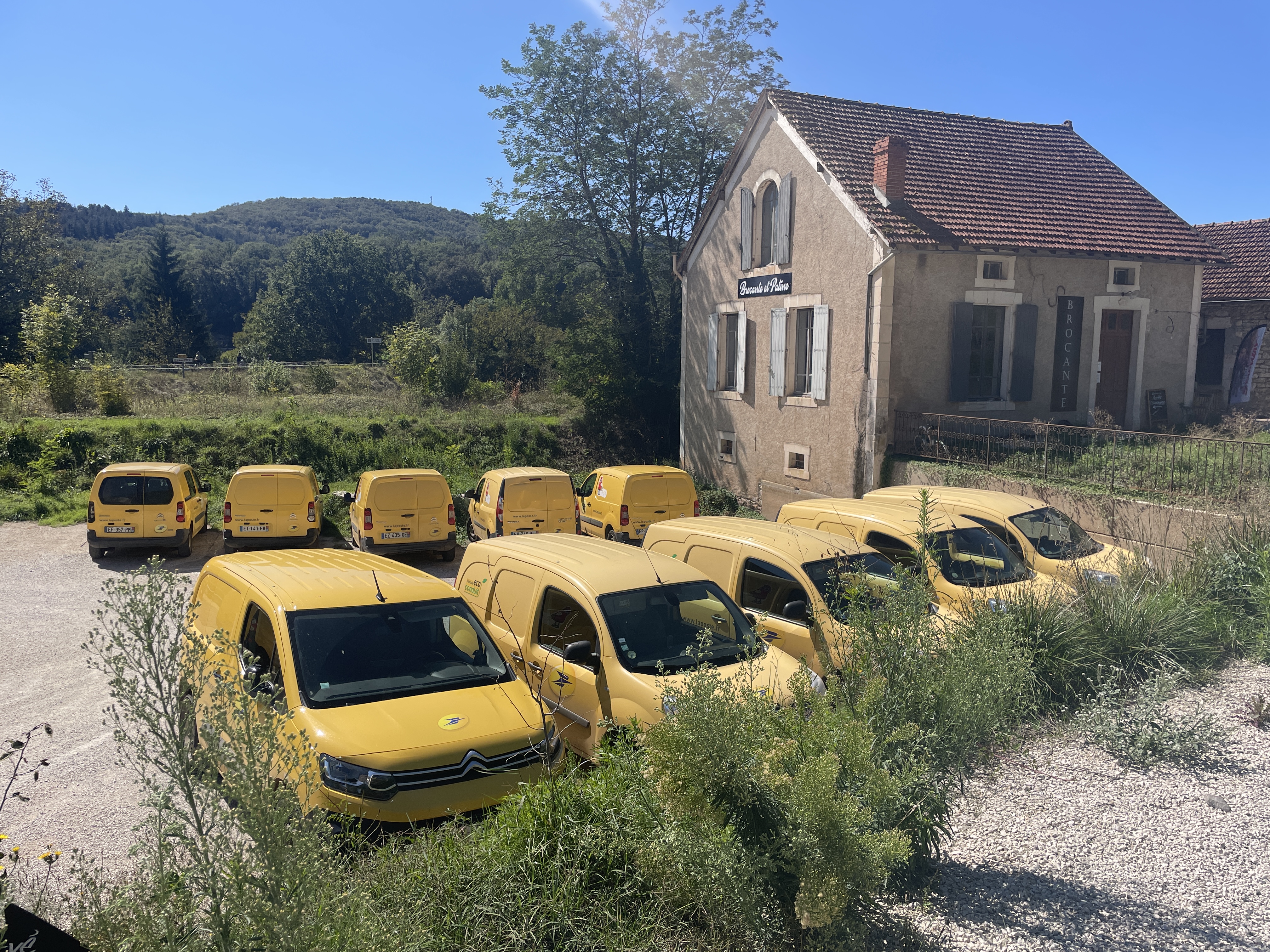
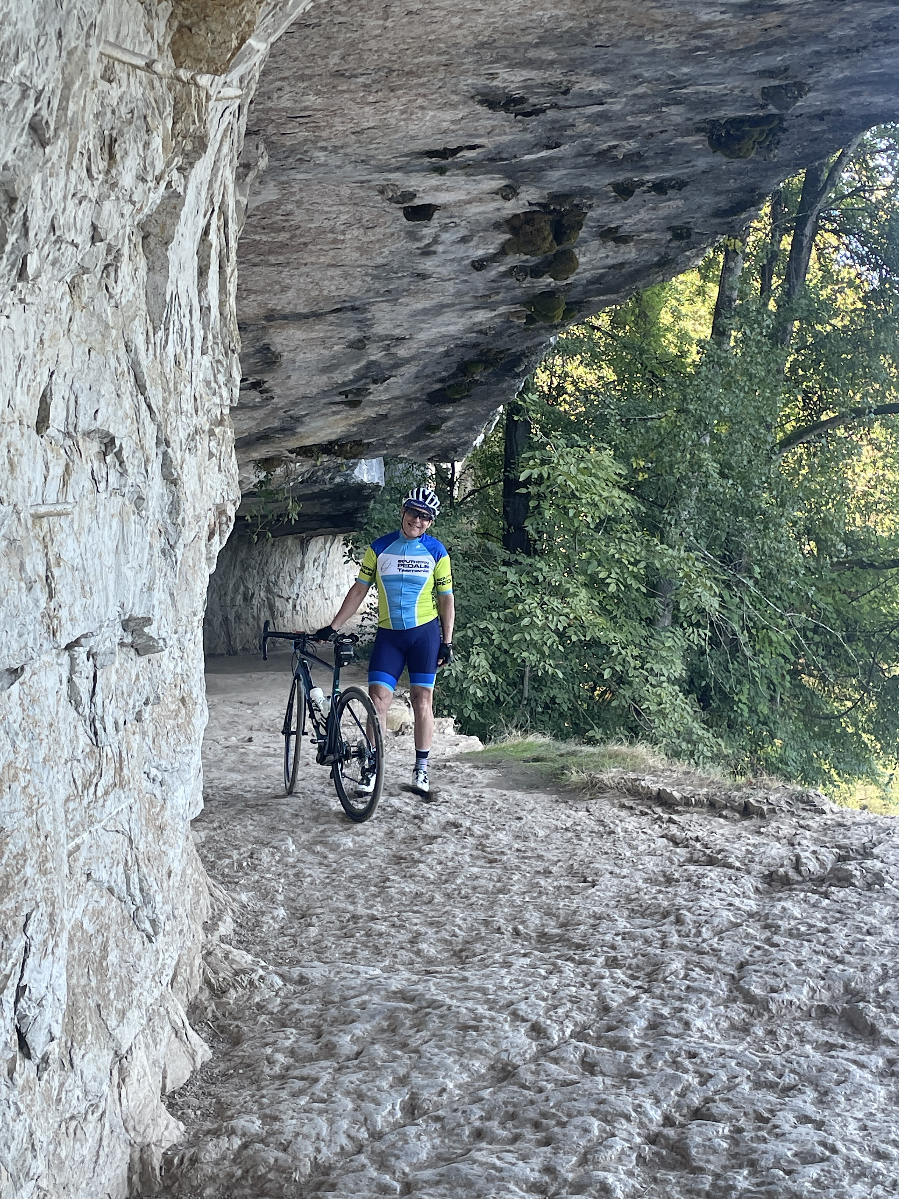
Just un Petit Peu About Cycling 🤩
We have one more day here in Sarlat before we pull up stumps and shift further west to Bergerac. I realise that not everyone who looks at this blog is obsessed with cycling the way I am so I decided to finish this post by just cramming a bunch of images and two very short videos together into an impressionistic perspective on our last couple of days riding in the area.
I've tried to put it together so that even non-cyclists will enjoy this very short (it's only 1 minute and 30 seconds long!) mash-up. No captions, just one image morphing into the next. Almost all of of it is from today's ride ...

We hope that tomorrow's weather is suitable for one last ride here before we leave, but the forecast isn't encouraging. Here's my little video and I hope you all enjoy it: